
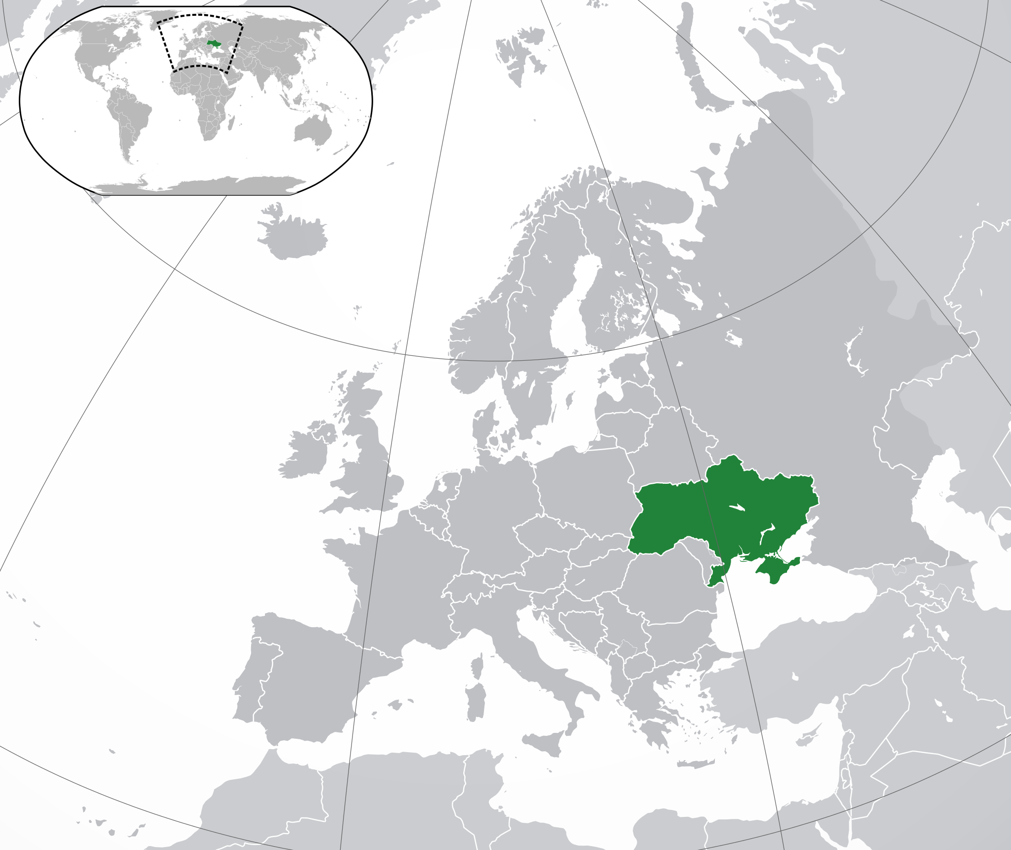
Apamduööt:Europe-Ukraine.svg

Size of this PNG preview of this SVG file: 713 × 600 kolook. Tïckatïŋ kɔ̈k: 285 × 240 kolook | 571 × 480 kolook | 913 × 768 kolook | 1,218 × 1,024 kolook | 2,435 × 2,048 kolook | 2,045 × 1,720 kolook.
Makec tueŋ (Apamduööt SVG, yee kolookë ke aayee 2,045 x 1,720, dït de apamduööt: 7.33 MB)
Cuutyic
| Lëkcäät | |
| Aköl | |
| Tënëyök | Luɔ̈igup |
| Agɔ̈t |
|
| Other versions |
|
| SVG genesis |
.svg)
Gɛmluɔ̈ɔ̈i
I, the copyright holder of this work, hereby publish it under the following license:
This file is licensed under the Creative Commons Attribution 3.0 Unported license.
- Yïn launhom
- bë röm – bë luoi thuur, ku tekpiny ku tooc aɣeer
- bë bɛnlääp – bë looië jiɛlpiny
- Käbɔ̈kë cök
- abïcɔl – Të cï yïn lon ë raandɛ̈ luööi, ku wïc ba lueel ye ŋa ë lööm yïn luɔi thïn, ka dhil ba gɔ̈t në kuer gör yen ye, tëdɛ̈ ke kuer cï gɔ̈t në anyoothluɔic. Lakin, acie kuer lëu bï ye tak lɔn kɔ̈ɔ̈c yen raanë ke yï, tëdɛ̈ ka kääc ke të ̈cï yïn londe luööi thïn.
Käthɛɛr ë makec
Tuenyë në aköl/akɔ̈licic apamduööt ɣoi kecit rɔt nyuɔɔth në akölic.
| Aköl/Akɔ̈lic | Riöpbundït | Thëmthëm | Dului | Këcïjaamic | |
|---|---|---|---|---|---|
| ee mënë | 19:19, 12 Pɛnëthiäärkurou 2022 | | 2,045 × 1,720 (7.33 MB) | Alexassandro | Reverted to version as of 14:22, 11 August 2015 (UTC) |
| 03:18, 10 Pɛnëdiäk 2017 |  | 2,045 × 1,720 (7.34 MB) | Geom10 | fixed disputed borders | |
| 16:22, 11 Pɛnëbɛ̈t 2015 |  | 2,045 × 1,720 (7.33 MB) | Seryo93 | border is suitable for uncontrolled-territory variant | |
| 10:29, 11 Pɛnëbɛ̈t 2015 |  | 2,045 × 1,720 (7.33 MB) | Seryo93 | Second attempt at uploading | |
| 10:24, 11 Pɛnëbɛ̈t 2015 |  | 2,045 × 1,720 (7.33 MB) | Seryo93 | Isthmus of Perekop was too wide. Updated to match File:Europe-Ukraine (disputed territory).svg (except colour, of course) | |
| 18:03, 19 Pɛnëdiäk 2014 |  | 2,045 × 1,720 (2.7 MB) | A.Savin | Reverted to pre-editwar state | |
| 22:06, 18 Pɛnëdiäk 2014 |  | 2,045 × 1,720 (2.71 MB) | Артур михайлович | Reverted to version as of 17:05, 18 March 2014 | |
| 19:06, 18 Pɛnëdiäk 2014 |  | 2,045 × 1,720 (2.71 MB) | Misha motsniy | по примеру с оккупироваными териториями Грузии и Кипра | |
| 19:05, 18 Pɛnëdiäk 2014 |  | 2,045 × 1,720 (2.71 MB) | Misha motsniy | по примеру с оккупироваными териториями Грузии и Кипра | |
| 19:04, 18 Pɛnëdiäk 2014 |  | 2,045 × 1,720 (2.71 MB) | Misha motsniy | по примеру с оккупироваными териториями Грузии и Кипра |
.svg)
Luɔi ë apamduööt
Apam thöökë anuɛ̈tke apamduöötë:
Luui ë yɔ̈rcïduut de pinynhom
Wiki kɔ̈k bɔ̈ looi makec kënë
- Luɔi ady.wikipedia.orgic
- Luɔi af.wikipedia.orgic
- Luɔi af.wiktionary.orgic
- Luɔi ami.wikipedia.orgic
- Luɔi am.wikipedia.orgic
- Luɔi ang.wikipedia.orgic
- Luɔi arc.wikipedia.orgic
- Luɔi ar.wikipedia.orgic
- Luɔi av.wikipedia.orgic
- Luɔi awa.wikipedia.orgic
- Luɔi az.wiktionary.orgic
- Luɔi ba.wikipedia.orgic
- Luɔi bbc.wikipedia.orgic
- Luɔi be-tarask.wikipedia.orgic
- Luɔi be.wikipedia.orgic
- Luɔi crh.wikipedia.orgic
- Luɔi cu.wikipedia.orgic
- Luɔi dag.wikipedia.orgic
- Luɔi da.wikipedia.orgic
- Luɔi en.wikipedia.orgic
- Luɔi es.wikipedia.orgic
- Luɔi fi.wikipedia.orgic
- Luɔi fj.wikipedia.orgic
- Luɔi gcr.wikipedia.orgic
- Luɔi hr.wikipedia.orgic
- Luɔi incubator.wikimedia.orgic
- Luɔi inh.wikipedia.orgic
- Luɔi it.wikipedia.orgic
- Luɔi jam.wikipedia.orgic
- Luɔi ja.wikipedia.orgic
- Luɔi ka.wikipedia.orgic
- Luɔi kg.wikipedia.orgic
- Luɔi li.wikipedia.orgic
- Luɔi lo.wikipedia.orgic
- Luɔi lt.wikipedia.orgic
- Luɔi lv.wikipedia.orgic
Tïŋ luui de tëriëcëbɛ̈n juëckɔ̈k de apamduööt kënë.