
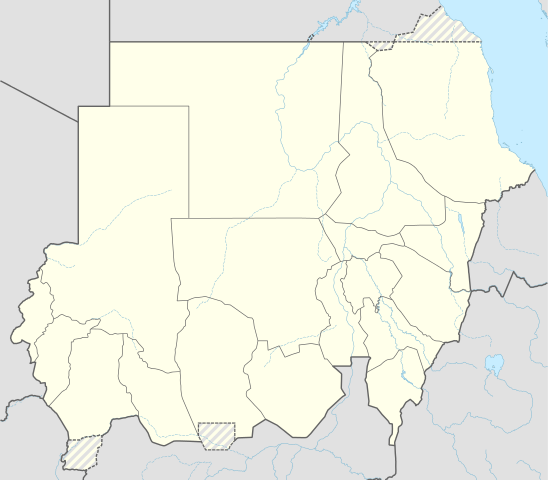
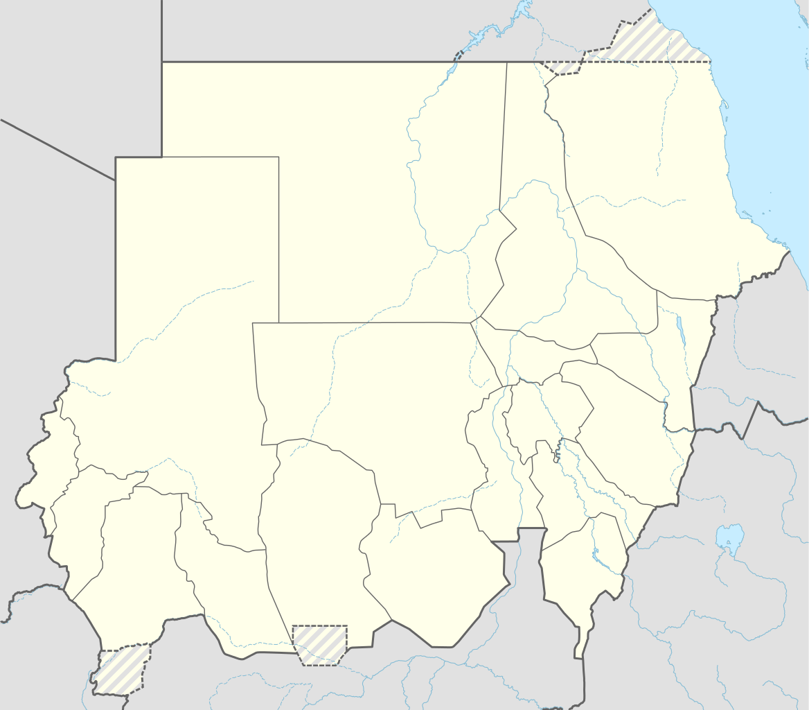
Apamduööt:Sudan adm location map.svg

Makec tueŋ (Apamduööt SVG, yee kolookë ke aayee 1,654 x 1,450, dït de apamduööt: 251 KB)
Cuutyic
| Lëkcäät |
Deutsch: Positionskarte von Sudan
English: Location map of Sudan
|
||||||||||||
| Aköl | |||||||||||||
| Tënëyök |
Own work using:
|
||||||||||||
| Agɔ̈t | NordNordWest | ||||||||||||

|
This map has been made or improved in the German Kartenwerkstatt (Map Lab). You can propose maps to improve as well.
|
Gɛmluɔ̈ɔ̈i
Usage of this file with:

explanatory notes: Legally binding is only the full legalcode. For a free usage I recommend to respect the following licence conditions:
1. Provide my name as given above: NordNordWest,
2. a copy of, or the URI for, the applicable license: https://creativecommons.org/licenses/by-sa/3.0/de/legalcode,
3. the title of the work,
4. in the case of an adaptation, a credit identifying the use of the work in the adaptation.
This license and the rights granted hereunder will terminate automatically upon any breach by you of the terms of this license. Any of the above conditions can be waived if you get permission from the copyright holder. If you have questions or wish differing conditions, please contact me through nnwest or my discussion page ![]() t-online.de
t-online.de
- Yïn launhom
- bë röm – bë luoi thuur, ku tekpiny ku tooc aɣeer
- bë bɛnlääp – bë looië jiɛlpiny
- Käbɔ̈kë cök
- abïcɔl – Të cï yïn lon ë raandɛ̈ luööi, ku wïc ba lueel ye ŋa ë lööm yïn luɔi thïn, ka dhil ba gɔ̈t në kuer gör yen ye, tëdɛ̈ ke kuer cï gɔ̈t në anyoothluɔic. Lakin, acie kuer lëu bï ye tak lɔn kɔ̈ɔ̈c yen raanë ke yï, tëdɛ̈ ka kääc ke të ̈cï yïn londe luööi thïn.
- röm acït – Të wɛɛr yïn lon känic amääth, tëdɛ̈ të löök yïn ee nyïn ëbɛ̈n në wëlku, tëdɛ̈ të juɛk yïn ee nhom në wëlkɔ̈k, ka kë bë bɛ̈nbei thïn alëu ba tɛkpiny, të buɔɔth yïn anyoothluɔi kän cök wälä anyoothluɔi dɛ̈t thöŋ ke ye.

Käthɛɛr ë makec
Tuenyë në aköl/akɔ̈licic apamduööt ɣoi kecit rɔt nyuɔɔth në akölic.
| Aköl/Akɔ̈lic | Riöpbundït | Thëmthëm | Dului | Këcïjaamic | |
|---|---|---|---|---|---|
| ee mënë | 13:05, 25 Pɛnëdiäk 2015 | | 1,654 × 1,450 (251 KB) | NordNordWest | upd |
| 20:07, 12 Pɛnëthiäärkutök 2014 |  | 1,654 × 1,450 (251 KB) | NordNordWest | == {{int:filedesc}} == {{Information |Description= {{de|1=Positionskarte von Sudan}} {{en|1=Location map of Sudan}} {{Location map series N |stretching=103 |top=23.3 |bottom=8.4 |left=21.5 |right=39.0 }} |Source={{Own using}} * United States National I... |
Luɔi ë apamduööt
Apam thöökë anuɛ̈tke apamduöötë:
Luui ë yɔ̈rcïduut de pinynhom
Wiki kɔ̈k bɔ̈ looi makec kënë
- Luɔi af.wikipedia.orgic
- Luɔi an.wikipedia.orgic
- Luɔi ar.wikipedia.orgic
- Luɔi arz.wikipedia.orgic
- Luɔi ast.wikipedia.orgic
- Luɔi azb.wikipedia.orgic
Tïŋ luui de tëriëcëbɛ̈n juëckɔ̈k de apamduööt kënë.